- English
Languages:
This site is created using Wikimapia data. Wikimapia is an open-content collaborative map project contributed by volunteers around the world. It contains information about 32793206 places and counting.
Learn more about Wikimapia and cityguides.
Araria
Tehsil Araria , Jila Araria, Bihar.
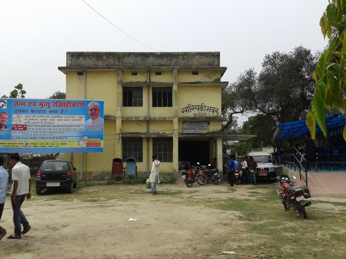
Araria is a Nagar Parishad city in district of Araria, Bihar.
The Araria Nagar Parishad has population of 79,021 as per report released by Census India 2011.
Araria is a city and a municipality in Araria district in the state of Bihar. Araria is located at 26.15°N 87.52°E[1]. It has an average elevation of 47 metres (154 feet). Araria is situated at the northern part of Purnia and Madhepura in Bihar. Borders of Araria are surrounded by Nepal in northern side, Kishanganj in eastern side and Supaul at south-west side. The district came into existence by division of Purnia district on Makar Sankranti day of 1990. District border is adjacent to border of Nepal, so the district is important in terms of security. Jogbani is the last point of Araria and after that Morang district of Nepal starts.
Wikipedia article: http://en.wikipedia.org/wiki/Araria_district
Tehsil Araria , Jila Araria, Bihar.
Araria is a Nagar Parishad city in district of Araria, Bihar.
The Araria Nagar Parishad has population of 79,021 as per report released by Census India 2011.
Araria is a city and a municipality in Araria district in the state of Bihar. Araria is located at 26.15°N 87.52°E[1]. It has an average elevation of 47 metres (154 feet). Araria is situated at the northern part of Purnia and Madhepura in Bihar. Borders of Araria are surrounded by Nepal in northern side, Kishanganj in eastern side and Supaul at south-west side. The district came into existence by division of Purnia district on Makar Sankranti day of 1990. District border is adjacent to border of...
 Reduce description
Araria on the map.


Recent city comments: